
Arinaga topographic map
Interactive map
Click on the map to display elevation.
About this map
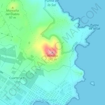
Name: Arinaga topographic map, elevation, terrain.
Average elevation: 105 ft
Minimum elevation: 0 ft
Maximum elevation: 623 ft
Other topographic maps
Click on a map to view its topography, its elevation and its terrain.
Barranco de Guayadeque
Barranco de Guayadeque, Agüimes, Las Palmas, Canarias, 35260, España
Average elevation: 1,591 ft