
Sant Feliu de Guíxols topographic map
Interactive map
Click on the map to display elevation.
About this map
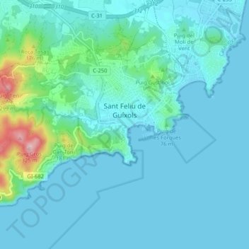
Name: Sant Feliu de Guíxols topographic map, elevation, terrain.
Location: Sant Feliu de Guíxols, Lower Empordà, Girona, Spain (41.76023 2.97507 41.80071 3.05429)
Average elevation: 125 ft
Minimum elevation: -3 ft
Maximum elevation: 1,030 ft