
Jumilla topographic map
Interactive map
Click on the map to display elevation.
About this map
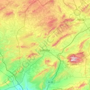
Name: Jumilla topographic map, elevation, terrain.
Location: Jumilla, Altiplano, Region of Murcia, Spain (38.28787 -1.49873 38.70400 -1.07719)
Average elevation: 2,028 ft
Minimum elevation: 768 ft
Maximum elevation: 4,390 ft
Other topographic maps
Click on a map to view its topography, its elevation and its terrain.