
Torrelavega topographic map
Interactive map
Click on the map to display elevation.
About this map
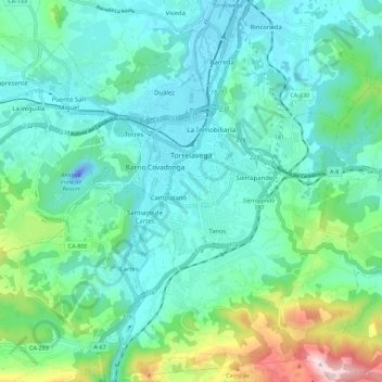
Name: Torrelavega topographic map, elevation, terrain.
Location: Torrelavega, Besaya, Cantabria, Spain (43.30014 -4.08185 43.38194 -4.00235)
Average elevation: 390 ft
Minimum elevation: -148 ft
Maximum elevation: 1,909 ft