
Culdesac topographic map
Interactive map
Click on the map to display elevation.
About this map
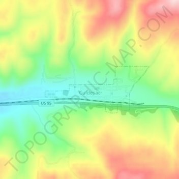
Name: Culdesac topographic map, elevation, terrain.
Location: Culdesac, Nez Perce County, Idaho, United States (46.37151 -116.68299 46.37856 -116.66015)
Average elevation: 1,929 ft
Minimum elevation: 1,539 ft
Maximum elevation: 2,369 ft
Culdesac is located at 46°22′30″N 116°40′13″W / 46.37500°N 116.67028°W / 46.37500; -116.67028 (46.374883, -116.670333), at an elevation of 1,644 feet (501 m) above sea level.