
West Butte topographic map
Interactive map
Click on the map to display elevation.
About this map
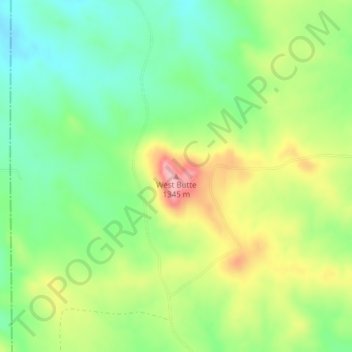
Name: West Butte topographic map, elevation, terrain.
Location: West Butte, Carter County, Montana, United States (45.09077 -105.02142 45.09087 -105.02132)
Average elevation: 4,170 ft
Minimum elevation: 3,983 ft
Maximum elevation: 4,449 ft
Other topographic maps
Click on a map to view its topography, its elevation and its terrain.
Alzada
United States > Montana > Carter County > Alzada
Alzada, Carter County, Montana, United States
Average elevation: 3,451 ft