
Kokomo topographic map
Interactive map
Click on the map to display elevation.
About this map
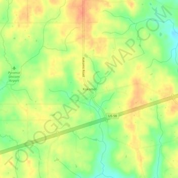
Name: Kokomo topographic map, elevation, terrain.
Location: Kokomo, Marion County, Mississippi, 39643, United States (31.17740 -90.02286 31.21740 -89.98286)
Average elevation: 358 ft
Minimum elevation: 279 ft
Maximum elevation: 417 ft