
Deerland topographic map
Interactive map
Click on the map to display elevation.
About this map
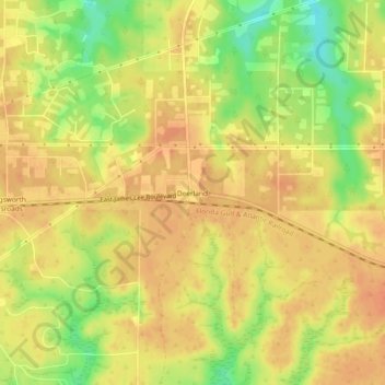
Name: Deerland topographic map, elevation, terrain.
Location: Deerland, Okaloosa County, Florida, 32539, United States (30.73186 -86.45578 30.77186 -86.41578)
Average elevation: 207 ft
Minimum elevation: 118 ft
Maximum elevation: 246 ft