
Salem topographic map
Interactive map
Click on the map to display elevation.
About this map
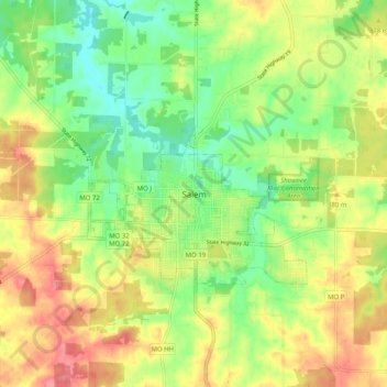
Name: Salem topographic map, elevation, terrain.
Location: Salem, Dent County, Missouri, 65560, United States (37.60560 -91.57598 37.68560 -91.49598)
Average elevation: 1,207 ft
Minimum elevation: 1,089 ft
Maximum elevation: 1,339 ft