
Ferris topographic map
Interactive map
Click on the map to display elevation.
About this map
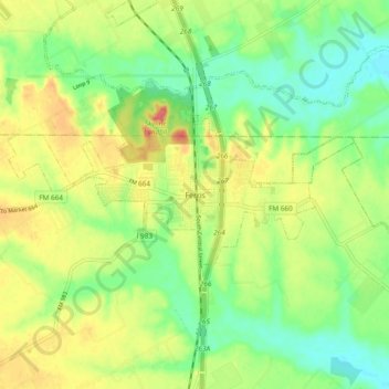
Name: Ferris topographic map, elevation, terrain.
Location: Ferris, Ellis County, Texas, 76125, United States (32.49403 -96.70555 32.57403 -96.62555)
Average elevation: 446 ft
Minimum elevation: 361 ft
Maximum elevation: 554 ft