
Lucerne topographic map
Interactive map
Click on the map to display elevation.
About this map
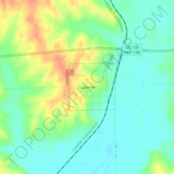
Name: Lucerne topographic map, elevation, terrain.
Location: Lucerne, Putnam County, Missouri, United States (40.46026 -93.29602 40.46760 -93.28608)
Average elevation: 942 ft
Minimum elevation: 883 ft
Maximum elevation: 1,043 ft