
Tice topographic map
Interactive map
Click on the map to display elevation.
About this map
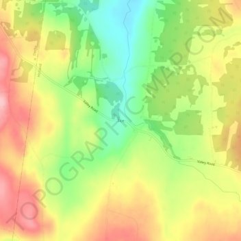
Name: Tice topographic map, elevation, terrain.
Location: Tice, Holland, Orleans County, Vermont, 05830, United States (44.95992 -72.05494 44.99992 -72.01494)
Average elevation: 1,322 ft
Minimum elevation: 1,070 ft
Maximum elevation: 1,558 ft