
Toccoa topographic map
Interactive map
Click on the map to display elevation.
About this map
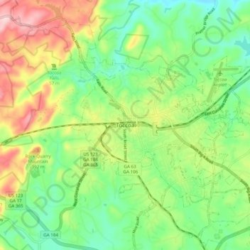
Name: Toccoa topographic map, elevation, terrain.
Location: Toccoa, Stephens County, Georgia, 30577, United States (34.53744 -83.37288 34.61744 -83.29288)
Average elevation: 981 ft
Minimum elevation: 686 ft
Maximum elevation: 1,470 ft