
Butte Creek topographic map
Interactive map
Click on the map to display elevation.
About this map
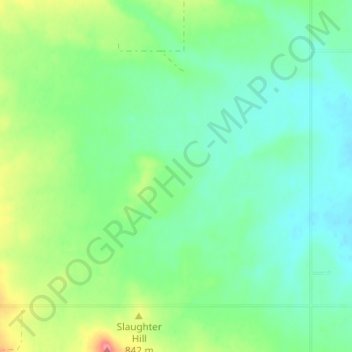
Name: Butte Creek topographic map, elevation, terrain.
Location: Butte Creek, Daniels County, Montana, United States (48.86197 -105.86835 48.90197 -105.82835)
Average elevation: 2,690 ft
Minimum elevation: 2,608 ft
Maximum elevation: 2,881 ft