
Arundel topographic map
Interactive map
Click on the map to display elevation.
About this map
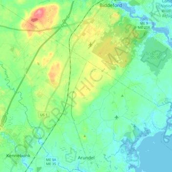
Name: Arundel topographic map, elevation, terrain.
Location: Arundel, York County, Maine, 04046, United States (43.37220 -70.60725 43.49626 -70.47695)
Average elevation: 82 ft
Minimum elevation: -20 ft
Maximum elevation: 308 ft