
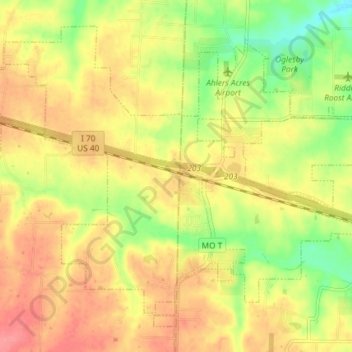
Foristell topographic map
Interactive map
Click on the map to display elevation.
About this map
Name: Foristell topographic map, elevation, terrain.
Location: Foristell, Warren County, Missouri, United States (38.79140 -90.99778 38.84028 -90.92443)
Average elevation: 682 ft
Minimum elevation: 541 ft
Maximum elevation: 791 ft