
Brookton topographic map
Interactive map
Click on the map to display elevation.
About this map
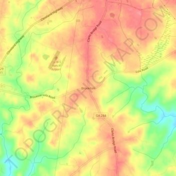
Name: Brookton topographic map, elevation, terrain.
Location: Brookton, Hall County, Georgia, 30527, United States (34.42510 -83.79935 34.46510 -83.75935)
Average elevation: 1,319 ft
Minimum elevation: 1,158 ft
Maximum elevation: 1,414 ft