
Mukwonago topographic map
Interactive map
Click on the map to display elevation.
About this map
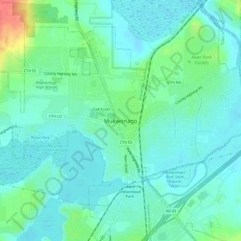
Name: Mukwonago topographic map, elevation, terrain.
Location: Mukwonago, Waukesha County, Wisconsin, 53149, United States (42.84668 -88.35343 42.88668 -88.31343)
Average elevation: 820 ft
Minimum elevation: 771 ft
Maximum elevation: 974 ft