
Baldwin topographic map
Interactive map
Click on the map to display elevation.
About this map
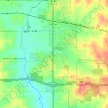
Name: Baldwin topographic map, elevation, terrain.
Location: Baldwin, Saint Croix County, Wisconsin, 54002, United States (44.92693 -92.39022 44.97802 -92.34935)
Average elevation: 1,148 ft
Minimum elevation: 1,070 ft
Maximum elevation: 1,266 ft