
Seltjarnarnesbær topographic map
Interactive map
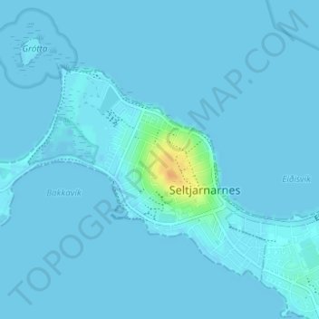
Click on the map to display elevation.
About this map
Name: Seltjarnarnesbær topographic map, elevation, terrain.
Location: Seltjarnarnesbær, Capital Region, 170, Iceland (64.14476 -22.03640 64.16540 -21.97609)
Average elevation: 3 ft
Minimum elevation: -10 ft
Maximum elevation: 85 ft