
Rushville topographic map
Interactive map
Click on the map to display elevation.
About this map
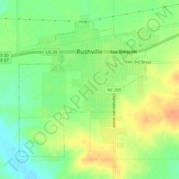
Name: Rushville topographic map, elevation, terrain.
Location: Rushville, Sheridan County, Nebraska, 69360, United States (42.70226 -102.47854 42.72262 -102.45023)
Average elevation: 3,743 ft
Minimum elevation: 3,681 ft
Maximum elevation: 3,809 ft