
Indian Hills topographic map
Interactive map
Click on the map to display elevation.
About this map
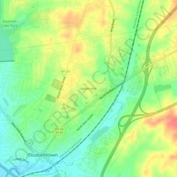
Name: Indian Hills topographic map, elevation, terrain.
Average elevation: 781 ft
Minimum elevation: 689 ft
Maximum elevation: 892 ft
Other topographic maps
Click on a map to view its topography, its elevation and its terrain.
Elizabethtown
United States > Kentucky > Hardin County > Elizabethtown > Elizabethtown
Elizabethtown, Hardin County, Kentucky, 42701, United States
Average elevation: 725 ft