
Middleton topographic map
Interactive map
Click on the map to display elevation.
About this map
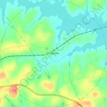
Name: Middleton topographic map, elevation, terrain.
Location: Middleton, Elbert County, Georgia, United States (34.08468 -82.78459 34.11370 -82.74971)
Average elevation: 535 ft
Minimum elevation: 472 ft
Maximum elevation: 643 ft