
Meeker topographic map
Interactive map
Click on the map to display elevation.
About this map
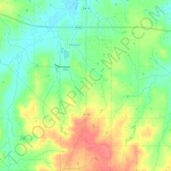
Name: Meeker topographic map, elevation, terrain.
Location: Meeker, Lincoln County, Oklahoma, United States (35.46347 -96.91215 35.51071 -96.88594)
Average elevation: 958 ft
Minimum elevation: 856 ft
Maximum elevation: 1,089 ft