
Dedeaux topographic map
Interactive map
Click on the map to display elevation.
About this map
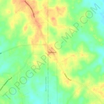
Name: Dedeaux topographic map, elevation, terrain.
Location: Dedeaux, Harrison County, Mississippi, United States (30.47880 -89.35949 30.51880 -89.31949)
Average elevation: 121 ft
Minimum elevation: 56 ft
Maximum elevation: 187 ft