
Liberty Hill topographic map
Interactive map
Click on the map to display elevation.
About this map
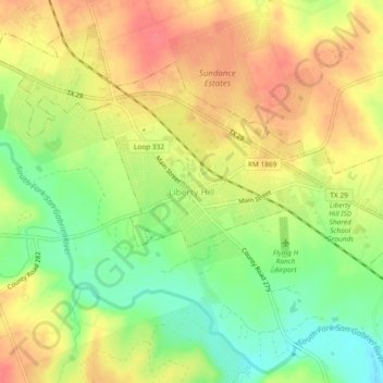
Name: Liberty Hill topographic map, elevation, terrain.
Location: Liberty Hill, Williamson County, Texas, 78642, United States (30.64491 -97.94252 30.68491 -97.90252)
Average elevation: 1,027 ft
Minimum elevation: 919 ft
Maximum elevation: 1,115 ft