
Fruita topographic map
Interactive map
Click on the map to display elevation.
About this map
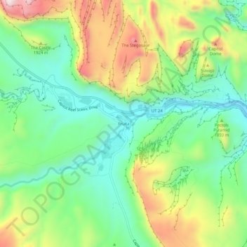
Name: Fruita topographic map, elevation, terrain.
Location: Fruita, Wayne County, Utah, United States (38.26554 -111.26684 38.30554 -111.22684)
Average elevation: 5,915 ft
Minimum elevation: 5,318 ft
Maximum elevation: 6,926 ft