
Westover Hills topographic map
Interactive map
Click on the map to display elevation.
About this map
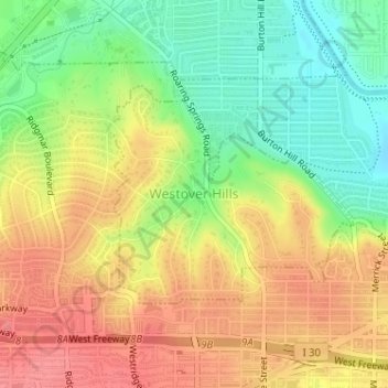
Name: Westover Hills topographic map, elevation, terrain.
Location: Westover Hills, Tarrant County, Texas, United States (32.73721 -97.42079 32.75242 -97.40042)
Average elevation: 659 ft
Minimum elevation: 528 ft
Maximum elevation: 774 ft