
Linn Flat topographic map
Interactive map
Click on the map to display elevation.
About this map
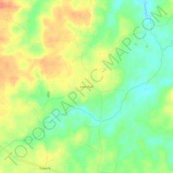
Name: Linn Flat topographic map, elevation, terrain.
Location: Linn Flat, Nacogdoches County, Texas, United States (31.76990 -94.75188 31.80990 -94.71188)
Average elevation: 413 ft
Minimum elevation: 318 ft
Maximum elevation: 522 ft