
Fort 2, Great Wall of Gorgan topographic map
Interactive map
Click on the map to display elevation.
About this map
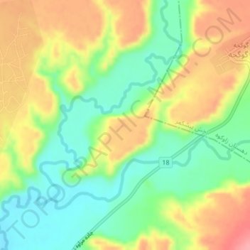
Name: Fort 2, Great Wall of Gorgan topographic map, elevation, terrain.
Average elevation: 509 ft
Minimum elevation: 361 ft
Maximum elevation: 682 ft