
Douglas topographic map
Interactive map
Click on the map to display elevation.
About this map
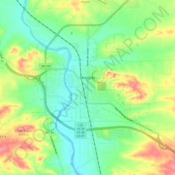
Name: Douglas topographic map, elevation, terrain.
Location: Douglas, Converse County, Wyoming, United States (42.73272 -105.44574 42.77789 -105.34510)
Average elevation: 4,895 ft
Minimum elevation: 4,767 ft
Maximum elevation: 5,115 ft