
Matney topographic map
Interactive map
Click on the map to display elevation.
About this map
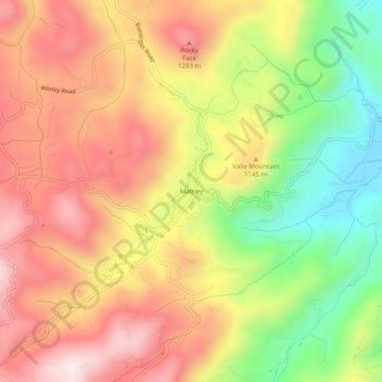
Name: Matney topographic map, elevation, terrain.
Location: Matney, Watauga County, North Carolina, 28691, United States (36.17179 -81.83094 36.21179 -81.79094)
Average elevation: 3,638 ft
Minimum elevation: 2,720 ft
Maximum elevation: 4,396 ft