
Pickett topographic map
Interactive map
Click on the map to display elevation.
About this map
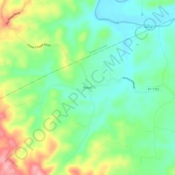
Name: Pickett topographic map, elevation, terrain.
Location: Pickett, Adair County, Kentucky, 42742, United States (37.10256 -85.49552 37.14256 -85.45552)
Average elevation: 735 ft
Minimum elevation: 584 ft
Maximum elevation: 1,017 ft