
West Point topographic map
Interactive map
Click on the map to display elevation.
About this map
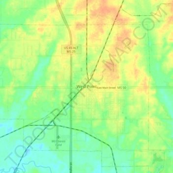
Name: West Point topographic map, elevation, terrain.
Location: West Point, Clay County, Mississippi, 39773, United States (33.56762 -88.69033 33.64762 -88.61033)
Average elevation: 226 ft
Minimum elevation: 167 ft
Maximum elevation: 289 ft