
Cedar Rapids topographic map
Interactive map
Click on the map to display elevation.
About this map
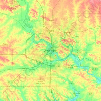
Name: Cedar Rapids topographic map, elevation, terrain.
Location: Cedar Rapids, Linn County, Iowa, 52401, United States (41.81589 -91.83041 42.13589 -91.51041)
Average elevation: 817 ft
Minimum elevation: 679 ft
Maximum elevation: 994 ft