
Hires Bay topographic map
Interactive map
Click on the map to display elevation.
About this map
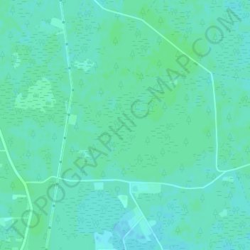
Name: Hires Bay topographic map, elevation, terrain.
Location: Hires Bay, Hamilton County, Florida, United States (30.54906 -82.92268 30.54916 -82.92258)
Average elevation: 144 ft
Minimum elevation: 135 ft
Maximum elevation: 154 ft
Other topographic maps
Click on a map to view its topography, its elevation and its terrain.
Jennings
United States > Florida > Hamilton County
Jennings, Hamilton County, Florida, United States
Average elevation: 144 ft
Jasper
United States > Florida > Hamilton County
Jasper, Hamilton County, Florida, United States
Average elevation: 135 ft