
Bear Butte topographic map
Interactive map
Click on the map to display elevation.
About this map
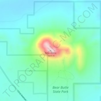
Name: Bear Butte topographic map, elevation, terrain.
Location: Bear Butte, Meade County, South Dakota, United States (44.47577 -103.42690 44.47587 -103.42680)
Average elevation: 3,314 ft
Minimum elevation: 3,025 ft
Maximum elevation: 4,419 ft
Other topographic maps
Click on a map to view its topography, its elevation and its terrain.
Sturgis
United States > South Dakota > Meade County
Sturgis, Meade County, South Dakota, United States
Average elevation: 3,698 ft