
Union topographic map
Interactive map
Click on the map to display elevation.
About this map
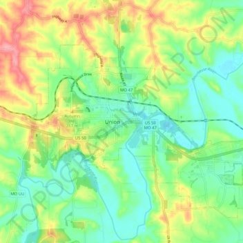
Name: Union topographic map, elevation, terrain.
Location: Union, Franklin County, Missouri, 63084, United States (38.40441 -91.04445 38.48441 -90.96445)
Average elevation: 617 ft
Minimum elevation: 486 ft
Maximum elevation: 833 ft