
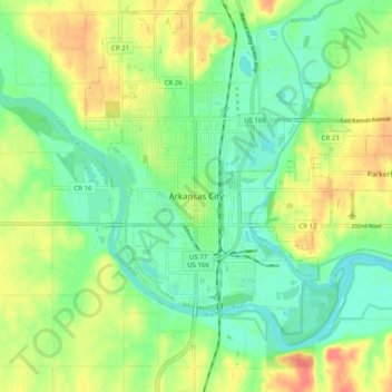
Arkansas City topographic map
Interactive map
Click on the map to display elevation.
About this map
Name: Arkansas City topographic map, elevation, terrain.
Location: Arkansas City, Cowley County, Kansas, 67005, United States (37.02226 -97.07883 37.10226 -96.99883)
Average elevation: 1,112 ft
Minimum elevation: 1,030 ft
Maximum elevation: 1,234 ft