
Topeka topographic map
Interactive map
Click on the map to display elevation.
About this map
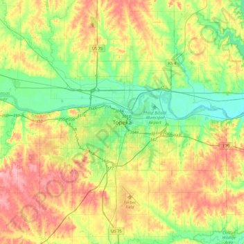
Name: Topeka topographic map, elevation, terrain.
Location: Topeka, Shawnee County, Kansas, 66603-3758, United States (38.88901 -95.83756 39.20901 -95.51756)
Average elevation: 1,001 ft
Minimum elevation: 846 ft
Maximum elevation: 1,224 ft