
Woodland topographic map
Interactive map
Click on the map to display elevation.
About this map
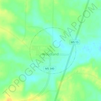
Name: Woodland topographic map, elevation, terrain.
Location: Woodland, Chickasaw County, Mississippi, United States (33.77350 -89.05808 33.78582 -89.04327)
Average elevation: 338 ft
Minimum elevation: 299 ft
Maximum elevation: 390 ft