
Catawba topographic map
Interactive map
Click on the map to display elevation.
About this map
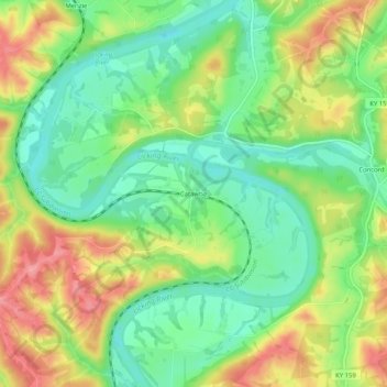
Name: Catawba topographic map, elevation, terrain.
Location: Catawba, Pendleton County, Kentucky, United States (38.70035 -84.34438 38.74035 -84.30438)
Average elevation: 623 ft
Minimum elevation: 476 ft
Maximum elevation: 820 ft