
Kamas topographic map
Interactive map
Click on the map to display elevation.
About this map
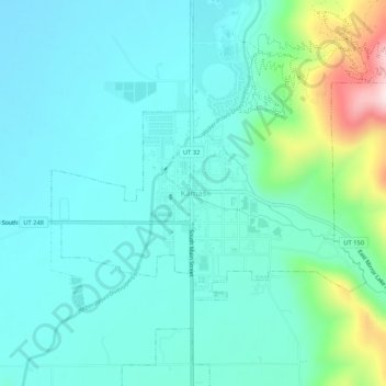
Name: Kamas topographic map, elevation, terrain.
Location: Kamas, Summit County, Utah, 84036, United States (40.62296 -111.30052 40.66296 -111.26052)
Average elevation: 6,598 ft
Minimum elevation: 6,335 ft
Maximum elevation: 7,707 ft