
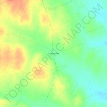
Keelersville topographic map
Interactive map
Click on the map to display elevation.
About this map
Name: Keelersville topographic map, elevation, terrain.
Location: Keelersville, Williamson County, Texas, United States (30.71602 -97.53834 30.75602 -97.49834)
Average elevation: 696 ft
Minimum elevation: 620 ft
Maximum elevation: 778 ft