
Tazehabad-e Sarab-e Qaht topographic map
Interactive map
Click on the map to display elevation.
About this map
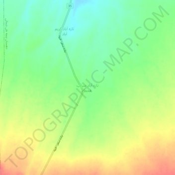
Name: Tazehabad-e Sarab-e Qaht topographic map, elevation, terrain.
Average elevation: 6,158 ft
Minimum elevation: 6,056 ft
Maximum elevation: 6,280 ft