
Van Buren topographic map
Interactive map
Click on the map to display elevation.
About this map
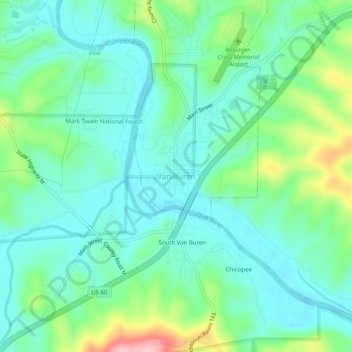
Name: Van Buren topographic map, elevation, terrain.
Location: Van Buren, Carter County, Missouri, 63965, United States (36.97561 -91.03457 37.01561 -90.99457)
Average elevation: 561 ft
Minimum elevation: 417 ft
Maximum elevation: 984 ft