
Newville topographic map
Interactive map
Click on the map to display elevation.
About this map
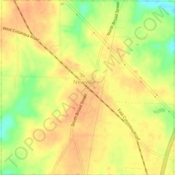
Name: Newville topographic map, elevation, terrain.
Location: Newville, Henry County, Alabama, 36353, United States (31.40600 -85.35358 31.43520 -85.31971)
Average elevation: 384 ft
Minimum elevation: 292 ft
Maximum elevation: 427 ft