
Sunset Park topographic map
Interactive map
Click on the map to display elevation.
About this map
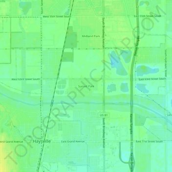
Name: Sunset Park topographic map, elevation, terrain.
Location: Sunset Park, Sedgwick County, Kansas, 67216-3734, USA (37.55724 -97.35921 37.59724 -97.31921)
Average elevation: 1,266 ft
Minimum elevation: 1,240 ft
Maximum elevation: 1,296 ft