
Bhinga topographic map
Interactive map
Click on the map to display elevation.
About this map
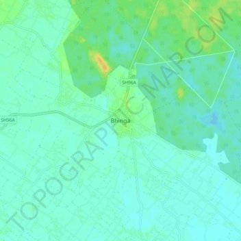
Name: Bhinga topographic map, elevation, terrain.
Location: Bhinga, Sharawasti, Uttar Pradesh, 271831, India (27.66338 81.89384 27.74338 81.97384)
Average elevation: 394 ft
Minimum elevation: 374 ft
Maximum elevation: 443 ft