
Indian Grove topographic map
Interactive map
Click on the map to display elevation.
About this map
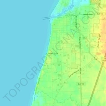
Name: Indian Grove topographic map, elevation, terrain.
Location: Indian Grove, Van Buren County, Michigan, 49090, USA (42.36864 -86.30281 42.40864 -86.26281)
Average elevation: 607 ft
Minimum elevation: 571 ft
Maximum elevation: 679 ft